Partner Article
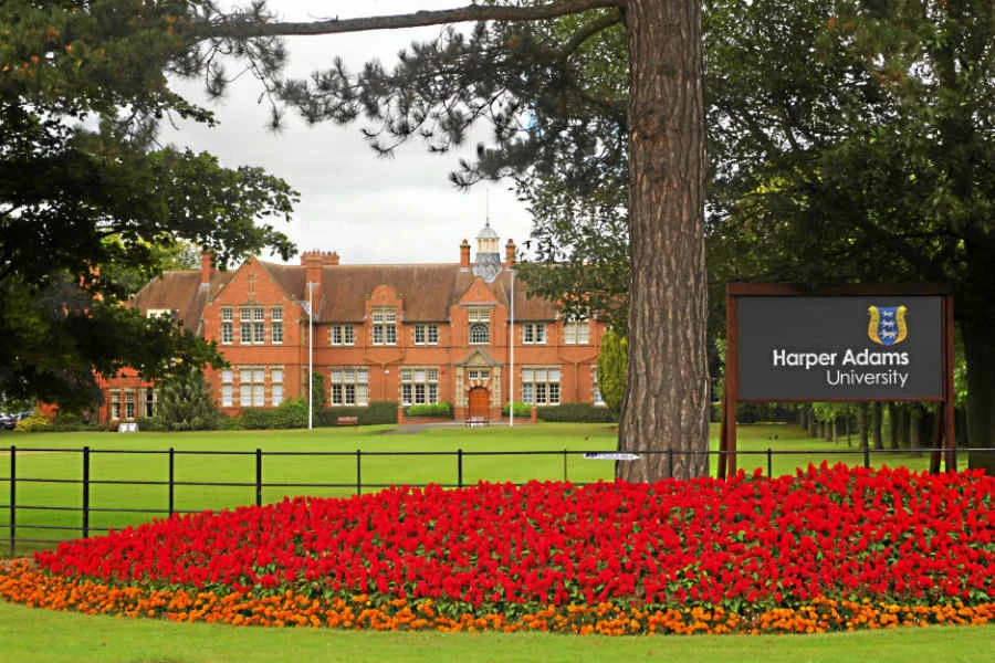
Landmark hosts digital mapping and data workshops for Harper Adams University’s students
Land and property data company, Landmark Information, is conducting a series of practical workshops to help support the future generation of rural estate management professionals at Harper Adams University. Sessions are being provided to students at the Shropshire-based University to offer practical guidance on the use of digital mapping and location-based data tools.
Students from Harper Adams University are undertaking RICS-accredited MSc or MProf qualifications in Rural Estate and Land Management. Via the workshops, students are able to trial Landmark’s digital mapping application, Promap, and access Ordnance Survey mapping in addition to a wide range of additional datasets as part of the session.
Explains Paul Marshall, Account Director at Landmark Information: “The free lecture series is designed to provide a hands-on insight into the range of digital mapping tools and location-based services, which are widely used in today’s commercial world. The aim is to help students gain valuable, practical experience as part of their coursework.
“It also means that by using Promap as part of their studies, they gain valuable experience of the service which becomes a positive attribute that can be added to their CVs when looking for future employment. Our data and mapping tools are used by thousands of land and property professionals every day, so it’s very motivating to be able to support the next generation as they prepare to embark on their future careers.”
Added Carrie de Silva, Principal Lecturer at Harper Adams University: “It is so important for students to gain as much practical experience as possible, which will benefit them in their future careers. We would like to extend our thanks to Paul and Nick from Landmark for providing the free Promap workshops and for enabling our students to access a wide range of datasets that they can use in their studies during the current term.”
Promap is used by surveyors, architects, property developers, builders, engineers and land professionals that require instant access to Ordnance Survey maps and related digital mapping and location-based geospatial data. An extensive range of datasets, 3D models, aerial photography and land use reports are available on a pay-as-you-go basis.
For any universities interested in joining the Promap University Lecture Programme, contact Nick Mills (National Training Manager) on 07920 784 887.
This was posted in Bdaily's Members' News section by Landmark Information Group .
Enjoy the read? Get Bdaily delivered.
Sign up to receive our popular morning National email for free.
Our Partners


 Who speaks up for SMEs when giants get bigger?
 The true value of HR in an AI-driven working world
 What new business rates guidance means for pubs
 Business success starts with people investment
 It's time to confront the digital poverty crisis
 Why a business exit is no longer all or nothing
 Culture is the foundation for sustainable growth
 Business must help young people take root in work
 Purposeful procurement for long-term growth
 Time to rethink outdated views on apprenticeships
 The scale-ups rocketing through our fast world
 Care about the experience, not just the outcome